
Ancient World Map Illustration – Archival Cartography Study
€ 52,85
Artwork & Print Details
Technique: Ink drawing with cross-hatching and Renaissance chiaroscuro, balancing geometric and organic forms
Annotation Language: Latin
Color Scheme: Black ink on white background
Print Type: Museum-grade fine art archival print
Paper: Archival, acid-free, uncoated fine art paper
Sheet Size: 50 × 50 cm
Visible Artwork Area: 30 × 30 cm (passe-partout opening)
Margins: Wide white archival margins for framing and long-term preservation
Frame Size: 50 × 50 cm
Edition Information
Edition: Unlimited Edition
Institution: World 3.0 Foundation
Year: Anno MMXXV
Description
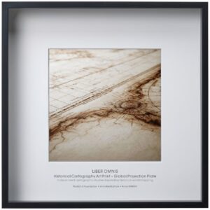
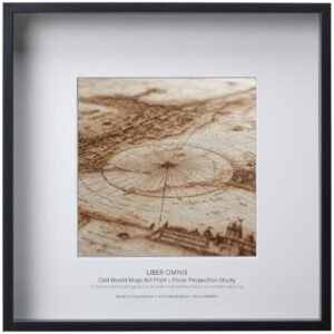
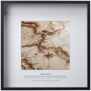
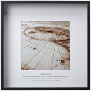
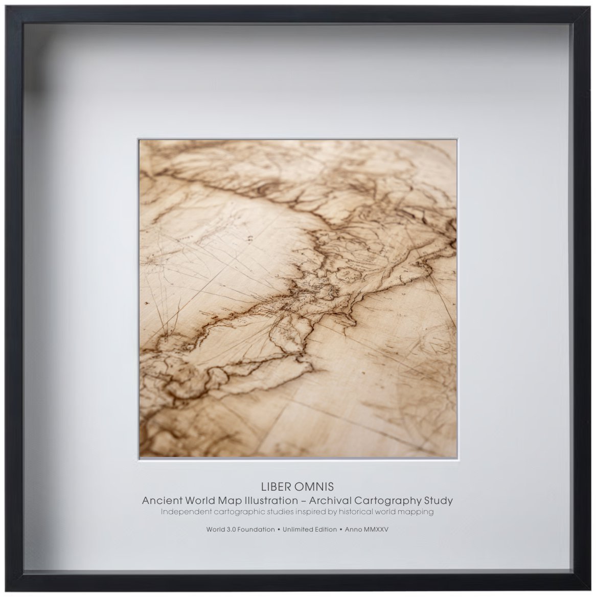
An ancient world map illustration inspired by archival cartography and early navigation manuscripts. The plate presents the world as a measured surface rather than a political construct. Fine linework and aged textures reinforce its scholarly character. A standalone piece without hidden meaning or system.
Conceptual Note
A scientific-artistic manuscript exploring the harmony between nature, geometry, and human reason.
Each drawing is a meditation on the fragile balance of our living world — a dialogue between observation and creation.