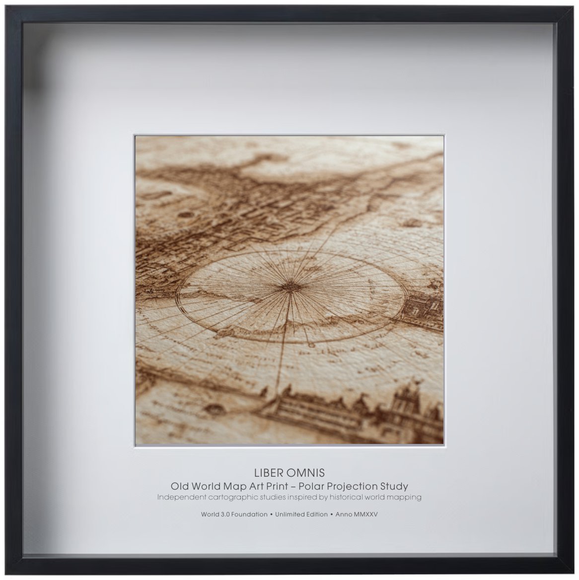
Old World Map Art Print – Polar Projection Study
€ 52,85
Artwork & Print Details
Technique: Ink drawing with cross-hatching and Renaissance chiaroscuro, balancing geometric and organic forms
Annotation Language: Latin
Color Scheme: Black ink on white background
Print Type: Museum-grade fine art archival print
Paper: Archival, acid-free, uncoated fine art paper
Sheet Size: 50 × 50 cm
Visible Artwork Area: 30 × 30 cm (passe-partout opening)
Margins: Wide white archival margins for framing and long-term preservation
Frame Size: 50 × 50 cm
Edition Information
Edition: Unlimited Edition
Institution: World 3.0 Foundation
Year: Anno MMXXV
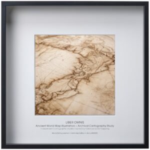
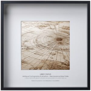
Description
An old world map art print inspired by polar projection techniques used in early exploration. The radial layout draws attention to measurement, orientation, and the limits of perception. Executed in a restrained ink style, the work recalls archival scientific plates. Suitable for collectors drawn to history, structure, and form.
Conceptual Note
A scientific-artistic manuscript exploring the harmony between nature, geometry, and human reason.
Each drawing is a meditation on the fragile balance of our living world — a dialogue between observation and creation.